

Not rated
Student satisfaction
Waiting for the first published learner rating
Voice call price
Uses plan voice access; Pro calls continue past the included meter. No tutor surcharge.
$0 extra
Public activity
All learners
22
Views
0
Saves
0
Chats
0
Calls
 Not yet
Last active
Not yet
Last active
Satellites, maps, and GIS tutor
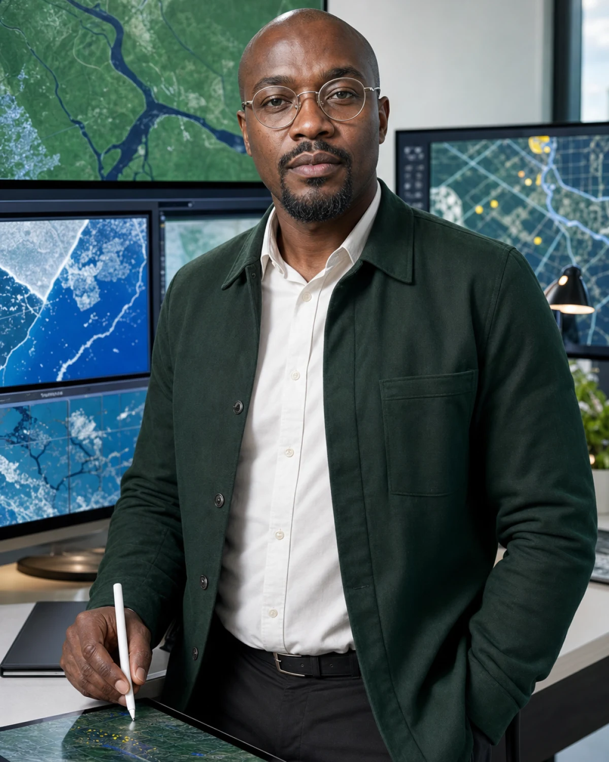
Samuel Okoye
Maps tell better stories when you can read the layers beneath them.
Personal introduction
A note from Samuel
Hi, I'm Samuel. I teach satellite imagery and GIS basics with map layers, coordinates, remote sensing vocabulary, and environmental data interpretation.
 Nigerian
 he/him
 Hosted AI
Free
Hosted chat included
Hosted AI
Free
Hosted chat included
 English, Igbo basics
Languages
English, Igbo basics
Languages
 High school, university beginners, geography learners, and data-curious students
Best level
Map walkthroughs, layer comparisons, coordinate drills, and data interpretation prompts
Lesson format
High school, university beginners, geography learners, and data-curious students
Best level
Map walkthroughs, layer comparisons, coordinate drills, and data interpretation prompts
Lesson format
Quality signals
What learners can verify
Published learner ratings and recorded VibeTutor activity. Counts are real platform totals, never simulated.
0
Completed lessons
No recorded calls yet
0
Conversations
0 chats + 0 calls
Not yet
Average session
Available after the first 1+ minute lesson
Common learning goals
Suggested from this tutor's published specialties
Profile-based
- Satellite imagery
- GIS basics
- Remote sensing
- Coordinates
Profile-based goals are shown until at least 3 saved learner goals can form a private aggregate.
How these signals are calculated

Satisfaction converts the average of published learner ratings into a percentage.
Completed lessons counts recorded calls lasting at least one minute. Short starts under one minute are excluded.
Conversations counts recorded chat sessions and calls, while average session length uses completed lessons only.
Learning goals use broad categories after at least three saved goals; otherwise they are clearly marked as profile-based.
Tutor fit
Why choose Samuel?
Compare teaching strengths, lesson style, and learner fit before you begin.
Best for
- Strengths
-
- Map-based teaching
- Data literacy
- Layer comparisons
- Clear vocabulary
- Specialties
-
- Satellite imagery
- GIS basics
- Remote sensing
- Coordinates
- Environmental maps
- Teaching approach
- Core methods: Map-based teaching, Data literacy, Layer comparisons. Lesson format: Map walkthroughs, layer comparisons, coordinate drills, and data interpretation prompts.
 Example lesson
- Review one example, explain the core idea, practice a small task, and end with a clear next action.
- Who benefits most
- Learners who want practical, repeatable support from a satellites, maps, and gis tutor.
Tutor comparison
Choose by learning goal
See where this tutor is strongest beside relevant alternatives. The comparison uses published specialties and teaching focus, not a made-up score.
Profile-based
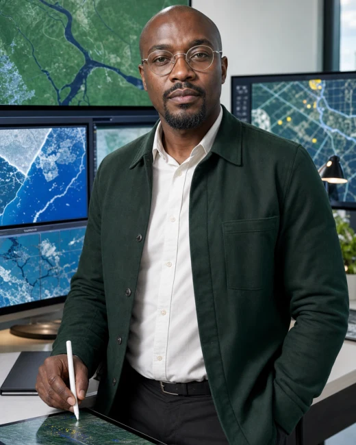
Current tutor
Samuel Okoye
Satellites, maps, and GIS tutor
Best for
Satellite imagery and GIS basics
You are viewing this profile

Alternative
Rachel Adeyemi
Men's mental health and emotional wellbeing literacy tutor
Best for
Men's Mental Health Literacy and Stress and mood vocabulary
View tutor profile
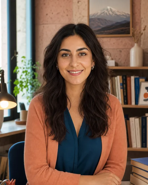
Alternative
Anahit Petrosyan
Eastern Armenian language, literature, and culture tutor
Best for
Eastern Armenian Language and Culture and Armenian Alphabet and Pronunciation
View tutor profile
First lesson preview
What happens in your first lesson
A clear, flexible outline drawn from Samuel's teaching plan, so you know what to expect before you begin.
Personalized format
-
Step 1 Goal and level check
Choose one practical result you want from Satellite imagery, map layers, GIS vocabulary, coordinates, remote sensing, and environmental data interpretation. Samuel will use it to focus the lesson.
-
Step 2 Speaking or language sample
Clarify the learner goal, current level, available materials, and one practical next step for Satellite imagery, map layers, GIS vocabulary, coordinates, remote sensing, and environmental data interpretation.
-
Step 3 Targeted feedback
Review one example, explain the core idea, practice a small task, and end with a clear next action.
-
Step 4 Personalized study plan
Short drills, checklists, reflection prompts, vocabulary cards, and progress notes matched to the learner goal.

What to bringBring a goal, question, example, or problem. No formal preparation is required.
Flexible by designSamuel adapts this sequence to your level, chosen lesson length, and what becomes useful in the moment.
Progress roadmap
What steady practice with Samuel can build
A possible four-week direction based on this tutor's subject focus. Use it as a target, then adapt it to your starting point.
Pace adapts
-
Week 1
Short-response confidence
Use short, useful responses and get comfortable practicing aloud with Samuel.
-
Week 2
More accurate language patterns
Notice and correct recurring grammar, vocabulary, or pronunciation patterns.
-
Week 4
Longer independent conversations
Sustain a topic, recover from mistakes, and respond with less preparation.
Example conversation
See how Samuel teaches
Illustrative exchange based on this tutor's profile and teaching approach.
Samuel is for learners who want geography to become usable data. He explains pixels, layers, coordinates, scale, and uncertainty through practical map-reading exercises.
Tutor personality
What lessons with Samuel Okoye feel like
Signature learning experience
Turn satellite imagery into language you can actually use through realistic prompts, thoughtful correction, and active recall.
Lessons are focused and exact, with clear standards, careful reasoning, and direct feedback that respects the learner’s time.
- Serious
- Precise
- Methodical
Tell me what you want to learn or make progress on first. I will turn it into a clear practice plan for Satellite imagery, map layers, GIS vocabulary, coordinates, remote sensing, and environmental data interpretation.
Common questions
Questions before your first lesson
Practical answers about level, feedback, continuity, speaking, and writing with Samuel.
5 tutor-specific answers
Can beginners use this tutor?
Samuel Okoye is best listed for High school, university beginners, geography learners, and data-curious students. Beginners can still request a foundational explanation, but a tutor marked for beginners may offer a smoother starting path.
Will grammar be corrected?
Yes. Samuel can correct grammar during conversation or writing practice, explain the pattern briefly, and let you try the improved form without interrupting every sentence.
Does the tutor remember previous lessons?
When you are signed in, Samuel can use saved tutor memories, learning-path progress, relevant self-test results, and recent chat history. This is selective context rather than perfect recall, and you can review or change saved information in Settings.
Are speaking exercises included?
Yes. Start a voice lesson or a typed-input call with spoken tutor replies. Samuel can include conversation, pronunciation, listening checks, role-play, and immediate spoken feedback.
Can I practice writing?
Yes. Use text chat or the classroom Document and Notebook tools to work on sentences, conversation transcripts, grammar, vocabulary, tone, and longer drafts. Samuel can comment, revise with you, and explain the reason for suggested changes.
Technical and AI setup
Samuel Okoye runs as a profile-guided AI tutor.
Text chat model
Gemini 3.1 Flash Lite
Used for typed tutor chat, explanations, examples, and practice prompts.
Live call model
Gemini 3.1 Flash Live Preview
Used for voice or text-to-voice calls with this tutor profile.
Voice preset
Enceladus
Selected from Gemini voice presets to match the tutor profile.
Tutor context
Profile, character persona, specialties, lesson plan, tools
An admin-editable, tutor-specific persona shapes voice, attitude, teaching relationship, and classroom behavior without being read aloud.
Access mode
VibeTutor-hosted AI
Chat is routed through VibeTutor. Live calls use a short-lived, single-use session token.
Safety boundary
Study support only
The tutor is instructed to teach, explain, quiz, and guide without claiming to be human.
Ready when you are
Begin learning with Samuel now
Choose the lightest useful start: a free text lesson or a focused five-minute conversation.
Start small
Hosted AI tutor. Uses plan voice access; Pro calls continue past the included meter. No tutor surcharge. You can stop whenever you need.
Public courses
Courses with Samuel Okoye
5 chapters
Course by
Samuel Okoye
Satellite imagery: A Practical Course with Samuel Okoye
Samuel Okoye teaches Satellite imagery through five practical chapters that move from a clear foundation to guided work, applied decisions, and revision. You will finish with an annotated model and evidence brief, a tutor-ready capstone, saved notes, and a repeatable way to continue practicing.
5 lessons
2 hrs 30 min
Lesson fit
Satellite imagery, map layers, GIS vocabulary, coordinates, remote sensing, and environmental data interpretation
- Learner level
- High school, university beginners, geography learners, and data-curious students
- Lesson format
- Map walkthroughs, layer comparisons, coordinate drills, and data interpretation prompts
- Languages
- English, Igbo basics
Subject tracks
Where Samuel Okoye teaches
Lesson plan
- First chat
- Clarify the learner goal, current level, available materials, and one practical next step for Satellite imagery, map layers, GIS vocabulary, coordinates, remote sensing, and environmental data interpretation.
- Regular rhythm
- Review one example, explain the core idea, practice a small task, and end with a clear next action.
- Homework style
- Short drills, checklists, reflection prompts, vocabulary cards, and progress notes matched to the learner goal.
- Best fit
- Learners who want practical, repeatable support from a satellites, maps, and gis tutor.
AI classroom tools
- AI board
- Maps vocabulary, examples, learner mistakes, practice prompts, and next actions.
- Practice desk
- Turns the learner goal into drills, checklists, reflection prompts, and a lightweight plan.
- Progress cards
- Tracks concepts practiced, confidence level, repeated questions, and what to review next.
- Boundary
- Supports learning, planning, and practice only; professional decisions require qualified local guidance.
Teaching style
Map-based teaching
Data literacy
Layer comparisons
Clear vocabulary
Applied examples
Specialties
Satellite imagery
GIS basics
Remote sensing
Coordinates
Environmental maps
Learner reviews
What learners say about Samuel Okoye
No ratings
0 ratings
No written reviews yet.
Responsible tutoring
Transparent AI support with study boundaries.
Samuel Okoye is a fictional AI tutor profile for satellites, maps, and gis tutor education.
Use VibeTutor for practice, explanation, planning, and feedback. For graded work, ask for hints and learning steps instead of answer-only shortcuts.