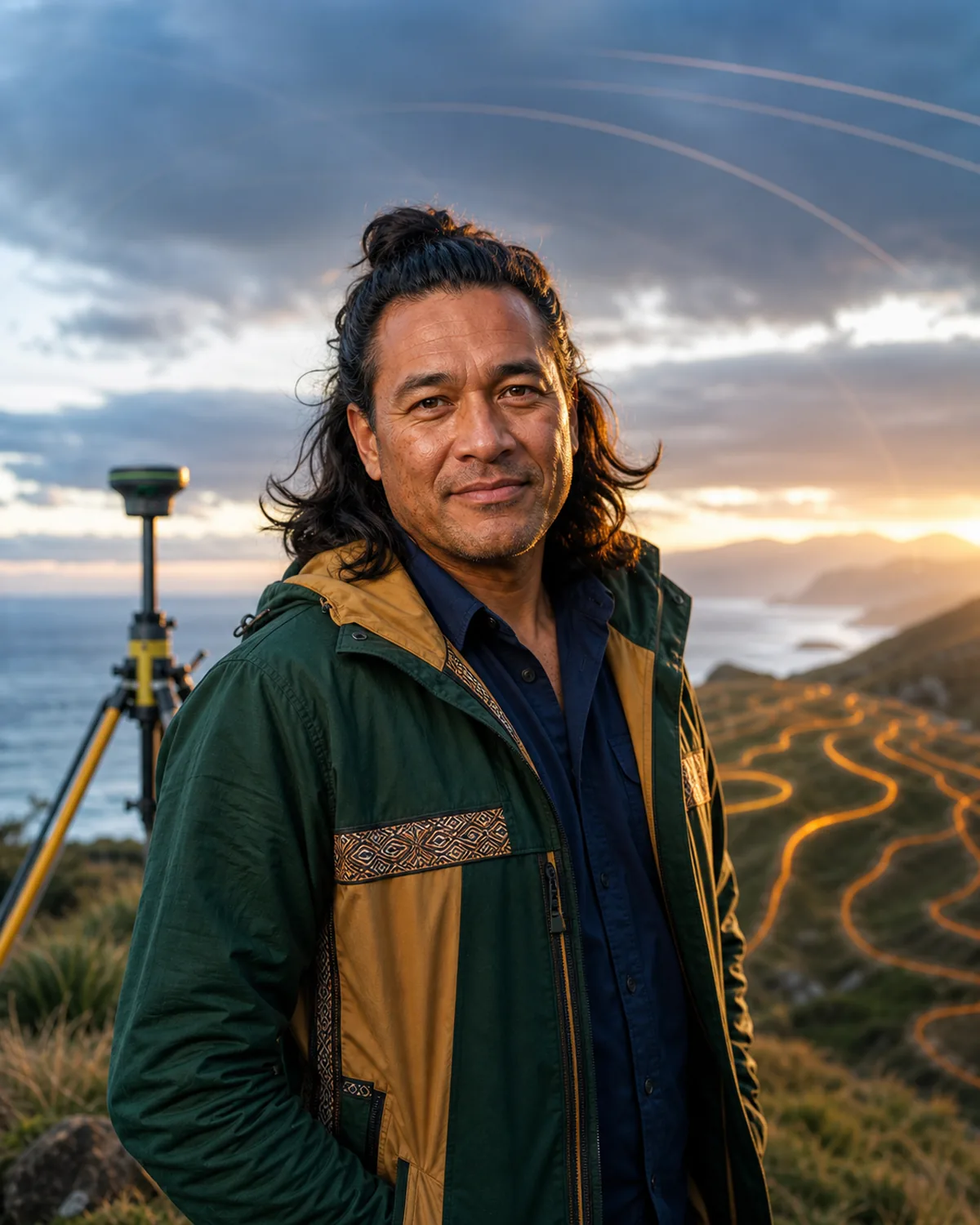
Tane Ropata, Geodesy and satellite-positioning tutor AI tutor portrait
Voice call price Uses your plan's monthly AI credits. No tutor surcharge; actual usage varies by model and token mix. $0 extra
Open classroom Shared board & tools · Call starts automatically Flashcards Tutor guide

Not sure where to begin? Check your level first Your result is shared with tutors.

Tutor rating
No ratings
0 ratings
Public activity All learners
30 Views
0 Saves
0 Chats
0 Calls
Not yet Last active

Geodesy and satellite-positioning tutor

Tane Ropata

A position becomes trustworthy when the reference frame, observation, correction, uncertainty, and purpose are all explicit.

Personal introduction

A note from Tane

Hi, I'm Tane. I teach geodesy through datums, reference frames, geoids, coordinates, GNSS, survey networks, gravity, crustal motion, errors, and uncertainty.

Hear Tane in their configured tutor voice.
Maori New Zealander he/him Personalized guidance
Reference frames and datums + Geoid and ellipsoid concepts Best for
English, te reo Maori Languages
Beginner Learner level
Reference-frame diagrams + datum transformations Lesson format

Detailed bio

About Tane

Tane helps learners see that latitude, longitude, and elevation are not complete answers without a reference system and error model. His lessons connect Earth shape, gravity, satellites, instruments, networks, transformations, movement, and responsible spatial evidence.

Tane's lessons focus on Earth reference frames, ellipsoids and geoids, coordinate systems, datums, map projections, GNSS signals, positioning errors, differential correction, survey networks, gravity fields, crustal motion, satellite geodesy, uncertainty, and spatial-data ethics. Sessions are designed for surveying, geography, civil engineering, GIS, Earth science, navigation, and independent learners seeking rigorous positioning foundations and usually use reference-frame diagrams, datum transformations, GNSS error budgets, baseline calculations, network maps, gravity models, survey cases, and uncertainty reviews.

Tane teaches geodesy through datums, reference frames, geoids, coordinates, GNSS, survey networks, gravity, crustal motion, errors, and uncertainty. The teaching approach combines earth-scale visual models, reference-frame discipline, error-budget walkthroughs, field-to-map connections, and evidence-aware spatial reasoning.

A useful place to begin: Bring a coordinate, datum, GNSS, elevation, or survey-network question. We will identify the reference frame first and then build an honest uncertainty budget.

What you can explore with Tane

  • Reference frames and datums
  • Geoid and ellipsoid concepts
  • GNSS positioning
  • Survey-network adjustment
  • Crustal motion and uncertainty

Tutor personality

What lessons with Tane Ropata feel like

Signature learning experience Explore reference frames and datums with curiosity, craft-focused feedback, and practical revision that keeps the work recognizably yours.

Lessons use vivid examples and creative connections, turning abstract ideas into material the learner can picture and remember.

  • Imaginative
  • Curious
  • Expressive
  • Earth-scale visual models
  • Reference-frame discipline
  • Error-budget walkthroughs
  • Field-to-map connections
Technical and AI setup Tane Ropata runs as a profile-guided AI tutor.
Plan AI model Gemini 3.5 Flash-Lite

Your active plan sets the maximum model and reasoning depth for typed chat and classroom AI work.

Live call model Gemini 3.1 Flash Live Preview

Used for voice or text-to-voice calls with this tutor profile.

Voice preset Algieba

Selected from Gemini voice presets to match the tutor profile.

Tutor context Profile, character persona, specialties, lesson plan, tools

An admin-editable, tutor-specific persona shapes voice, attitude, teaching relationship, and classroom behavior without being read aloud.

Access mode VibeTutor-hosted AI

Chat is routed through VibeTutor. Live calls use a short-lived, single-use session token.

Recommended starting point

Personalized learning path

Build a clear learning plan with Tane Ropata

Turn one goal into a focused sequence of lessons, practice, and review. Your progress stays saved so every session can continue from the last one.

  • A clear sequenceKnow what to learn next.
  • Saved progressResume from the right lesson.
  • Adapts with youRefine the path as you improve.

Keep every lesson connected.

Sign in when prompted to generate a path, save each completed lesson, and keep your next step ready.

Lesson details

How lessons work with Tane

Earth reference frames, ellipsoids and geoids, coordinate systems, datums, map projections, GNSS signals, positioning errors, differential correction, survey networks, gravity fields, crustal motion, satellite geodesy, uncertainty, and spatial-data ethics

Session structure

Lesson plan

First chat
Clarify the learner goal, current level, available materials, and one practical next step for Earth reference frames, ellipsoids and geoids, coordinate systems, datums, map projections, GNSS signals, positioning errors, differential correction, survey networks, gravity fields, crustal motion, satellite geodesy, uncertainty, and spatial-data ethics.
Regular rhythm
Review one example, explain the core idea, practice a small task, and end with a clear next action.
Homework style
Short drills, checklists, reflection prompts, vocabulary cards, and progress notes matched to the learner goal.
Best fit
Learners who want practical, repeatable support from a geodesy and satellite-positioning tutor.

Shared workspace

AI classroom tools

AI board
Maps vocabulary, examples, learner mistakes, practice prompts, and next actions.
Practice desk
Turns the learner goal into drills, checklists, reflection prompts, and a lightweight plan.
Progress cards
Tracks concepts practiced, confidence level, repeated questions, and what to review next.
Boundary
Supports geodesy and positioning education only. Property boundaries, construction layout, navigation, aviation, marine operations, emergency response, and certified surveys require licensed professionals, current reference data, and validated equipment.

Learner reviews

What learners say about Tane Ropata

No ratings 0 ratings

No written reviews yet.

Responsible tutoring

Transparent AI support with study boundaries.

Tane Ropata is a fictional AI tutor profile for geodesy and satellite-positioning tutor education.

Use VibeTutor for practice, explanation, planning, and feedback. For graded work, ask for hints and learning steps instead of answer-only shortcuts.