
Tutor playbook
How to learn with Tane Ropata
A practical, profile-specific playbook for learning Earth reference frames, ellipsoids and geoids, coordinate systems, datums, map projections, GNSS signals, positioning errors, differential correction...
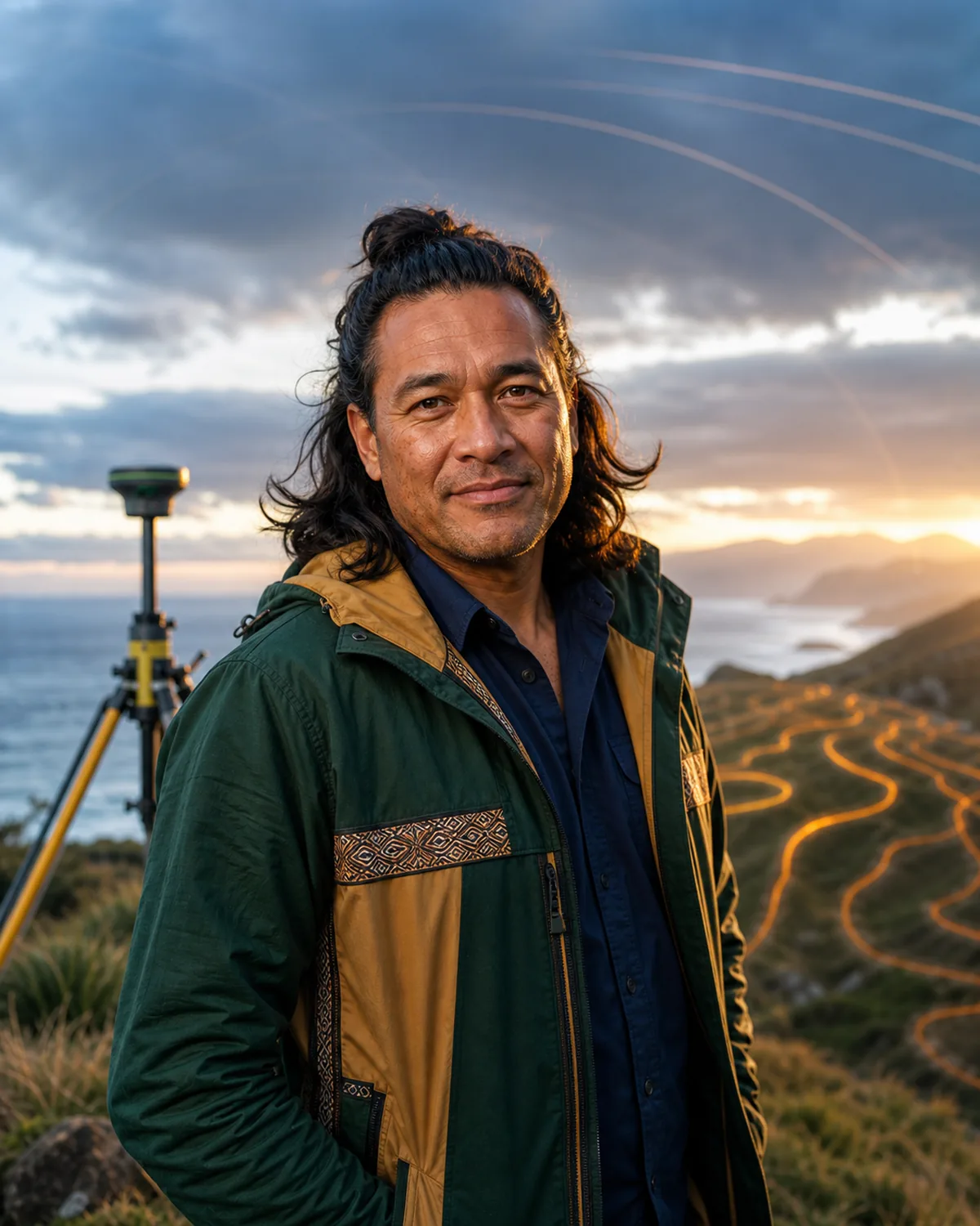 Tane Ropata
Geodesy and satellite-positioning tutor
On this page
Best fit
Is Tane Ropata right for your goal?
Learners who want practical, repeatable support from a geodesy and satellite-positioning tutor.
- Learning focus
- Earth reference frames, ellipsoids and geoids, coordinate systems, datums, map projections, GNSS signals, positioning errors, differential correction, survey networks, gravity fields, crustal motion, satellite geodesy, uncertainty, and spatial-data ethics
- Best level
- Surveying, geography, civil engineering, GIS, Earth science, navigation, and independent learners seeking rigorous positioning foundations
- Lesson format
- Reference-frame diagrams, datum transformations, GNSS error budgets, baseline calculations, network maps, gravity models, survey cases, and uncertainty reviews
- Languages
- English, te reo Maori
Tutor fit
Why choose Tane?
Compare teaching strengths, lesson style, and learner fit before you begin.
 Best for
 Strengths
-
- Earth-scale visual models
- Reference-frame discipline
- Error-budget walkthroughs
- Field-to-map connections
- Specialties
-
- Reference frames and datums
- Geoid and ellipsoid concepts
- GNSS positioning
- Survey-network adjustment
- Crustal motion and uncertainty
 Teaching approach
- Core methods: Earth-scale visual models, Reference-frame discipline, Error-budget walkthroughs. Lesson format: Reference-frame diagrams, datum transformations, GNSS error budgets, baseline calculations, network maps, gravity models, survey cases, and uncertainty reviews.
 Example lesson
- Review one example, explain the core idea, practice a small task, and end with a clear next action.
 Who benefits most
- Learners who want practical, repeatable support from a geodesy and satellite-positioning tutor.
Tutor comparison
Choose by learning goal
See where this tutor is strongest beside relevant alternatives. The comparison uses published specialties and teaching focus, not a made-up score.
Profile-based

Tane Ropata
Geodesy and satellite-positioning tutor


Aigerim Sadykova
Satellite Earth-observation and remote-sensing tutor

Yusuf Demirci
Palynology and pollen-analysis tutor
Quality signals
What learners can verify
Published learner ratings and recorded VibeTutor activity. Counts are real platform totals, never simulated.

- Reference frames and datums
- Geoid and ellipsoid concepts
- GNSS positioning
- Survey-network adjustment
Profile-based goals are shown until at least 3 saved learner goals can form a private aggregate.
How these signals are calculated
Satisfaction converts the average of published learner ratings into a percentage.
Completed lessons counts recorded calls lasting at least one minute. Short starts under one minute are excluded.
Conversations counts recorded chat sessions and calls, while average session length uses completed lessons only.
Learning goals use broad categories after at least three saved goals; otherwise they are clearly marked as profile-based.
Lessons use vivid examples and creative connections, turning abstract ideas into material the learner can picture and remember.
- Reference frames and datums
- Geoid and ellipsoid concepts
- GNSS positioning
- Survey-network adjustment
- Crustal motion and uncertainty
Before lesson one
Plan a focused first session
Specific evidence gives Tane a better starting point than a broad request to teach the whole subject. Use this four-part setup.
-
Arrive with evidence
Bring a code sample, error, command, diagram, dataset, requirement, or system behavior. A real sample gives Tane something concrete to diagnose.
-
Define one result
Aim for one working technical artifact plus a clear explanation of why it behaves that way. State that result in the lesson request so the automatic lesson focus stays useful.
-
Attempt before the model
Show what you currently think or can do. Ask for a hint or question before requesting the completed answer.
-
Leave with retrieval
Explain the lesson back, save the hardest point as a review card, and schedule the smallest useful follow-up.
Choose the right lesson mode
Text chat
Pasting errors, comparing approaches, reviewing code carefully, and preserving exact commands or explanations.
Paste the exact material and state the feedback format you want.Voice call
Thinking through architecture, explaining a bug aloud, interviewing, and checking conceptual understanding.
Think aloud and ask Tane to pause after each correction or question.Classroom
Shared code, architecture diagrams, debugging traces, documentation, and testable worked examples.
Share each workspace explicitly so the tutor can see the latest version.First lesson preview
What happens in your first lesson
A clear, flexible outline drawn from Tane's teaching plan, so you know what to expect before you begin.
-
Step 1 Creative goal
Choose one practical result you want from Earth reference frames, ellipsoids and geoids, coordinate systems, datums, map projections, GNSS signals, positioning errors, differential correction,. Tane will use it to focus the lesson.
-
Step 2 Work sample review
Clarify the learner goal, current level, available materials, and one practical next step for Earth reference frames, ellipsoids and geoids, coordinate systems, datums, map projections, GNSS signals, positioning errors, differential correction, survey networks, gravity fields, crustal motion...
-
Step 3 Guided revision
Review one example, explain the core idea, practice a small task, and end with a clear next action.
-
Step 4 Next creative step
Short drills, checklists, reflection prompts, vocabulary cards, and progress notes matched to the learner goal.

What to bringBring a goal, question, example, or problem. No formal preparation is required.
Flexible by designTane adapts this sequence to your level, chosen lesson length, and what becomes useful in the moment.
Example conversation
See how Tane teaches
Illustrative exchange based on this tutor's profile and teaching approach.
Common questions
Questions before your first lesson
Practical answers about level, feedback, continuity, speaking, and writing with Tane.
5 tutor-specific answers
Can beginners use this tutor?
Tane Ropata is best listed for Surveying, geography, civil engineering, GIS, Earth science, navigation, and independent learners seeking rigorous positioning foundations. Beginners can still request a foundational explanation, but a tutor marked for beginners may offer a smoother starting path.
Will grammar be corrected?
Tane can correct grammar when it affects clarity, but the main lesson focus is Geodesy and satellite-positioning tutor. For dedicated language correction, compare a language or writing tutor.
Does the tutor remember previous lessons?
When you are signed in, Tane can use saved tutor memories, learning-path progress, relevant self-test results, and recent chat history. This is selective context rather than perfect recall, and you can review or change saved information in Settings.
Are speaking exercises included?
Yes. Start a voice lesson or a typed-input call with spoken tutor replies. Tane can use verbal explanations, follow-up questions, presentation practice, or spoken rehearsal related to Geodesy and satellite-positioning tutor.
Can I practice writing?
Yes. Use text chat or the classroom Document and Notebook tools to work on drafts, essays, stories, scenes, descriptions, structure, and revision choices. Tane can comment, revise with you, and explain the reason for suggested changes.
Repeatable value
Use Tane's lesson rhythm
A good session should produce something you can attempt, inspect, and revisit. This profile is designed around the following rhythm.
- Start
- Clarify the learner goal, current level, available materials, and one practical next step for Earth reference frames, ellipsoids and geoids, coordinate systems, datums, map projections, GNSS signals, positioning errors, differential correction, survey networks, gravity fields, crustal motion, satellite geodesy, uncertainty, and spatial-data ethics.
- Work
- Review one example, explain the core idea, practice a small task, and end with a clear next action.
- Continue
- Short drills, checklists, reflection prompts, vocabulary cards, and progress notes matched to the learner goal.
Progress roadmap
What steady practice with Tane can build
A possible four-week direction based on this tutor's subject focus. Use it as a target, then adapt it to your starting point.
Pace adapts
-
Week 1
A clear creative intention
Choose the effect, audience, or craft goal you want to explore with Tane.
-
Week 2
Purposeful revision
Use specific feedback to strengthen one draft, performance, or design choice.
-
Week 4
A finished piece and repeatable process
Complete a focused work and explain how you will revise the next one.
Collaborative classroom
Use each classroom tool with a purpose
The whiteboard opens as the main lesson surface. Tane can work with Whiteboard, Canvas, HTML, Document, Code Editor, Quiz, and Homework when each format helps. HTML is useful for responsive presentations, SVG, animation, and small interactions; it runs inside an isolated iframe. Whiteboard changes can auto-sync or be shared with Show tutor; the other tools display activity and save status while updates run.
Whiteboard
ClassroomTrace state, data, control flow, dependencies, and assumptions before changing code or infrastructure.
Best move: Draw or place the first version yourself, then use Show tutor or Update tutor so Tane can respond to the current board.Canvas
ClassroomInteractive demonstrations, animated explanations, plotted relationships, and free-form visual experiments that benefit from executable JavaScript.
Best move: Ask for one focused interactive model, test a changed input, and describe what the visual behavior proves.Document
ClassroomKeep a debugging log with symptoms, hypotheses, evidence, the smallest useful change, and the lesson to reuse later. Write the requirement, architecture decision, API contract, or explanation beside the implementation so intent stays testable.
Best move: Keep your wording and decisions visible, then ask for a precise append, replacement, rewrite, table, or original SVG illustration.Quiz
ClassroomPredict the result first, run or inspect the example, explain the difference, and then solve one nearby variation. Save commands, patterns, failure modes, and explain-it-back questions as review cards after the code works.
Best move: Attempt each question before asking for help, then ask Tane to adjust the next quiz around the mistakes that matter most.Homework
ClassroomShort drills, checklists, reflection prompts, vocabulary cards, and progress notes matched to the learner goal.
Best move: Agree on one realistic assignment, complete it after class, and reopen the saved work with Tane in a later lesson.Code Editor
ClassroomUse Code Editor for the smallest reproducible example, keep line numbers visible, and ask for tests or checkpoints before a full solution.
Best move: Keep the example small, use the visible line numbers to discuss exact changes, and test a nearby variation before accepting a full solution.Tane's methods
Profile-specific teaching tools
These methods come directly from this tutor profile. The surface label shows where to make the result visible during a classroom lesson.
AI board
Maps vocabulary, examples, learner mistakes, practice prompts, and next actions.
Try it with Reference frames and datums in Whiteboard, make one attempt yourself, then ask Tane to correct only what blocks the next step.Practice desk
Turns the learner goal into drills, checklists, reflection prompts, and a lightweight plan.
Try it with Reference frames and datums in Document, make one attempt yourself, then ask Tane to correct only what blocks the next step.Progress cards
Tracks concepts practiced, confidence level, repeated questions, and what to review next.
Try it with Reference frames and datums in Document, make one attempt yourself, then ask Tane to correct only what blocks the next step.Ready to use
Prompts that fit this tutor
These prompts use Tane Ropata's actual subjects, lesson format, and current classroom tools. Replace the topic with your own material when needed.
Clarify the learner goal, current level, available materials, and one practical next step for Earth reference frames, ellipsoids and geoids, coordinate systems, datums, map projections, GNSS signals, positioning errors, differential correction, survey networks, gravity fields, crustal motion, satellite geodesy, uncertainty, and spatial-data ethics.
I want to improve Reference frames and datums. Use Reference-frame diagrams, datum transformations, GNSS error budgets, baseline calculations, network maps, gravity models, survey cases, and uncertainty reviews. Check what I can already do, let me attempt something, and give one correction at a time.
Open the classroom for Geoid and ellipsoid concepts and begin in Code Editor. Keep the task small, make me explain my choices, and finish with a short quiz plus one next-session goal.
Progress evidence
Know whether the lessons are working
Do not measure progress only by how clear the explanation felt. Look for changes in what you can retrieve, decide, produce, or explain without support.
- Predicts behavior before running the example
- Finds the failing boundary with fewer hints
- Explains tradeoffs instead of naming tools only
- Builds a nearby variation without copying the model
Responsible use
Use Tane as a tutor, not an authority
Supports geodesy and positioning education only. Property boundaries, construction layout, navigation, aviation, marine operations, emergency response, and certified surveys require licensed professionals, current reference data, and validated equipment.
Tane Ropata is a fictional AI tutor profile for geodesy and satellite-positioning tutor education.
Ready when you are
Begin learning with Tane now
Start a live voice lesson, or open the text chat window with lower credit use than voice.
Start small
Hosted AI tutor. Uses your plan's monthly AI credits. No tutor surcharge; actual usage varies by model and token mix. You can stop whenever you need.