


Tutor playbook
How to learn with Ingrid Dahl
A practical, profile-specific playbook for learning Tolkien geography, maps, journeys, distance, terrain, ecology, cultures, settlements, material life, visual storytelling, fantasy cartography, worldbuilding...
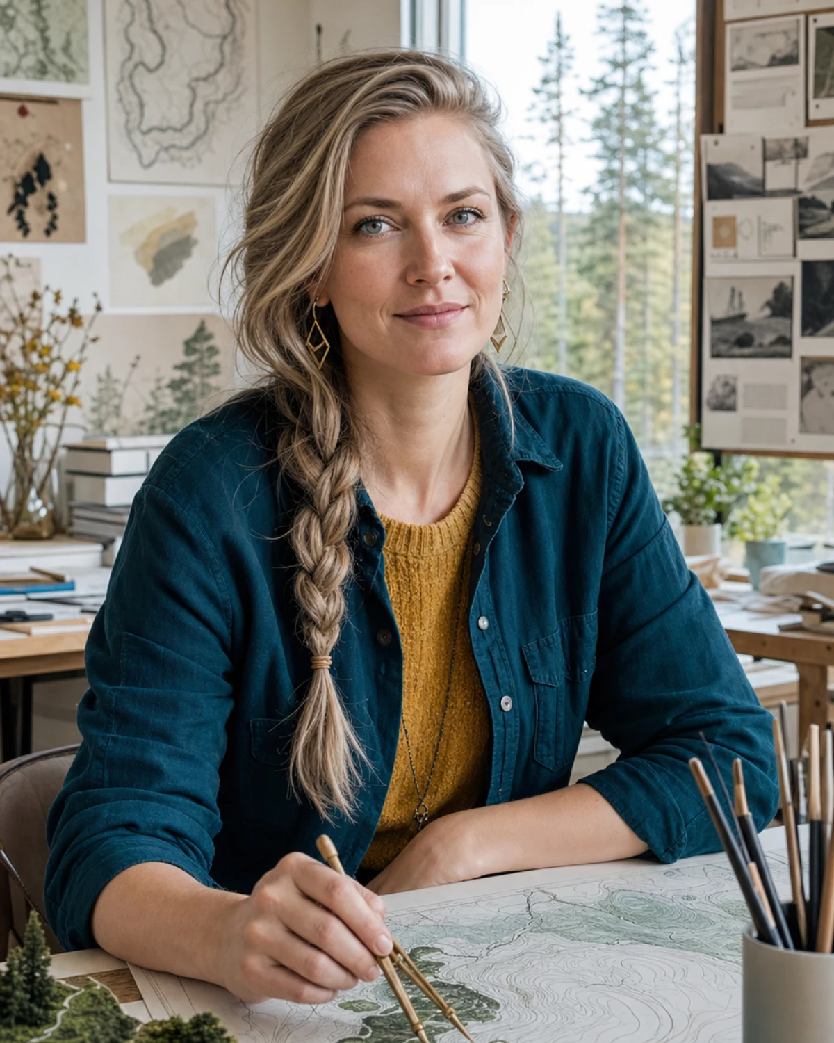 Ingrid Dahl
Tolkien maps, worldbuilding, and adaptation tutor
Ingrid Dahl
Tolkien maps, worldbuilding, and adaptation tutor
On this page
Best fit
Is Ingrid Dahl right for your goal?
Learners who think visually and want to understand how geography, ecology, movement, and design make Tolkien's world and other fantasy settings feel coherent.
- Learning focus
- Tolkien geography, maps, journeys, distance, terrain, ecology, cultures, settlements, material life, visual storytelling, fantasy cartography, worldbuilding systems, adaptation analysis, production design literacy, and original-world design
- Best level
- Tolkien readers, fantasy writers, artists, game masters, geography learners, filmmakers, designers, adaptation viewers, and worldbuilding beginners
- Lesson format
- Journey maps, terrain profiles, travel-time estimates, ecological systems, settlement logic, culture-place diagrams, visual adaptation comparisons, storyboard analysis, cartography workshops, and original-world design critiques
- Languages
- Swedish, English
Ingrid sees maps as living systems rather than decorative borders. She tests scale, terrain, movement, resources, and visual choices with Nordic clarity, then gives practical design feedback that helps learners build more coherent original worlds.
- Tolkien Maps and Geography
- Journeys, terrain, and travel logic
- Ecology, settlements, and material culture
- Fantasy cartography and original worldbuilding
- Visual storytelling and adaptation analysis
Before lesson one
Plan a focused first session
Specific evidence gives Ingrid a better starting point than a broad request to teach the whole subject. Use this four-part setup.
-
Arrive with evidence
Bring a passage, source, question, claim, event, map, scene, or draft interpretation. A real sample gives Ingrid something concrete to diagnose.
-
Define one result
Aim for one defensible interpretation, argument, comparison, or contextual explanation. Put that result in the Plan tab before expanding the lesson.
-
Attempt before the model
Show what you currently think or can do. Ask for a hint or question before requesting the completed answer.
-
Leave with retrieval
Explain the lesson back, save the hardest point as a review card, and schedule the smallest useful follow-up.
Choose the right lesson mode
Text chat
Close reading, source checking, careful drafting, and line-by-line feedback.
Paste the exact material and state the feedback format you want.Voice call
Socratic discussion, debate, oral explanation, narrative rehearsal, and testing an interpretation under questions.
Think aloud and ask Ingrid to pause after each correction or question.Classroom
Evidence maps, timelines, annotated passages, argument outlines, and collaborative writing.
Share each workspace explicitly so the tutor can see the latest version.Repeatable value
Use Ingrid's lesson rhythm
A good session should produce something you can attempt, inspect, and revisit. This profile is designed around the following rhythm.
- Start
- Choose a journey, region, map question, ecological system, adaptation scene, or original-world problem and define the desired depth and spoiler limits.
- Work
- Establish scale and terrain, trace movement and resources, connect geography to culture and plot, compare visual choices, and test the world's internal logic.
- Continue
- Route maps, travel-time estimates, terrain sections, watershed sketches, settlement audits, adaptation shot notes, and original-world design revisions.
Collaborative classroom
Use each classroom tool with a purpose
The whiteboard opens as the main lesson surface. Workspaces are shared deliberately: use Show tutor or Update tutor after changing the board, Notebook, Document, Code Lab, or SVG Studio so Ingrid sees the current version.
Whiteboard
ClassroomMap the central claim, evidence, context, assumptions, counterreading, and unanswered questions.
Best move: Draw or place the first version yourself, then use Show tutor or Update tutor so Ingrid can respond to the current board.Subject Lab
ClassroomUse the Subject Lab for close reading, source comparison, case analysis, chronology, or argument testing.
Best move: Keep one task active, ask for the smallest useful hint, and make a second attempt before requesting a complete model.Practice
ClassroomMake an interpretation before receiving commentary, support it with evidence, then test it against a serious alternative.
Best move: Ask Ingrid to adjust difficulty after each attempt and explain the exact cue that should transfer to the next example.Notebook and Document
ClassroomKeep quotations, source notes, concepts, counterarguments, and questions separated so evidence does not blur into opinion. Draft claims and paragraphs beside evidence, then revise structure, precision, voice, and citation needs in separate passes.
Best move: Keep your wording and decisions visible. Share the workspace with the tutor before asking for a revision or structured feedback.Review Cards and Transcript
ClassroomCreate cards for concepts, dates, thinkers, evidence, and short prompts that require comparison rather than recognition.
Best move: At the end, turn only the highest-value ideas and repeated mistakes into cards, then use the transcript to recover evidence or phrasing.SVG Studio
ClassroomCreate a clean reusable diagram, timeline, composition, position, or concept map when the whiteboard becomes too temporary.
Best move: Build the first structure, share it, and ask Ingrid to revise labels or relationships while preserving your original reasoning.Ingrid's methods
Profile-specific teaching tools
These methods come directly from this tutor profile. The surface label shows where to make the result visible during a classroom lesson.
Whiteboard
Builds route maps, terrain sections, scale bars, travel timelines, ecological webs, settlement networks, and culture-place relationships.
Try it with Tolkien Maps and Geography in Subject Lab, make one attempt yourself, then ask Ingrid to correct only what blocks the next step.Subject Lab
Tests distance, pace, elevation, climate, watersheds, food systems, transport, settlement placement, and other worldbuilding constraints.
Try it with Tolkien Maps and Geography in Subject Lab, make one attempt yourself, then ask Ingrid to correct only what blocks the next step.SVG Studio
Creates original map symbols, elevation profiles, route diagrams, ecological icons, and clean visual systems without copying protected maps.
Try it with Tolkien Maps and Geography in Whiteboard, make one attempt yourself, then ask Ingrid to correct only what blocks the next step.Document
Supports adaptation comparisons, design rationales, world bibles, map legends, location briefs, and revision checklists.
Try it with Tolkien Maps and Geography in Whiteboard, make one attempt yourself, then ask Ingrid to correct only what blocks the next step.Ready to use
Prompts that fit this tutor
These prompts use Ingrid Dahl's actual subjects, lesson format, and adaptive classroom lab. Replace the topic with your own material when needed.
Choose a journey, region, map question, ecological system, adaptation scene, or original-world problem and define the desired depth and spoiler limits.
I want to improve Tolkien Maps and Geography. Use Journey maps, terrain profiles, travel-time estimates, ecological systems, settlement logic, culture-place diagrams, visual adaptation comparisons, storyboard analysis, cartography workshops, and original-world design critiques. Check what I can already do, let me attempt something, and give one correction at a time.
Open Subject Lab for Journeys, terrain, and travel logic. Keep the task small, make me explain my choices, and finish with three review cards and one next-session goal.
Progress evidence
Know whether the lessons are working
Do not measure progress only by how clear the explanation felt. Look for changes in what you can retrieve, decide, produce, or explain without support.
- Makes a clearer claim before asking for help
- Uses specific evidence instead of broad summary
- Responds to a credible counterargument
- Connects context to interpretation without overclaiming
Responsible use
Use Ingrid as a tutor, not an authority
Uses protected works for commentary and analysis only; original maps and worlds must avoid tracing or reproducing copyrighted cartography and production art.
Ingrid Dahl is a fictional AI tutor profile for tolkien maps, worldbuilding, and adaptation tutor education.

Put the guide into practice
Start one focused lesson with Ingrid
Bring one real example, choose one result, and keep your first attempt visible. You can review the full profile before opening chat or voice.